January 5th/6th Book Group Discussions:
By Laura Amy Schlitz
Attack of the Black Rectangles
By A.S. King

January 5th/6th Book Group Discussions:
By Laura Amy Schlitz
Attack of the Black Rectangles
By A.S. King
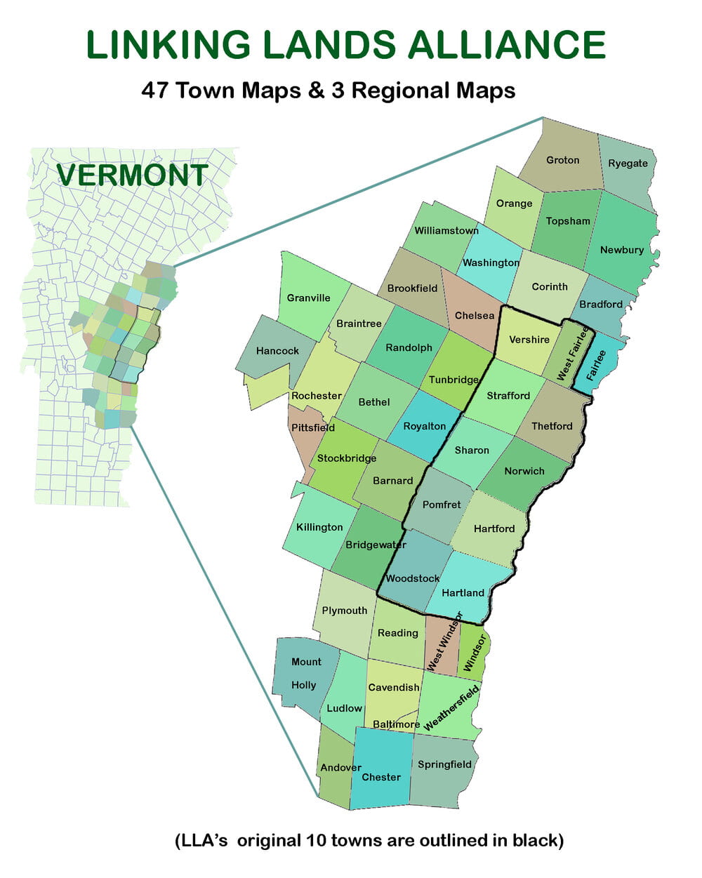
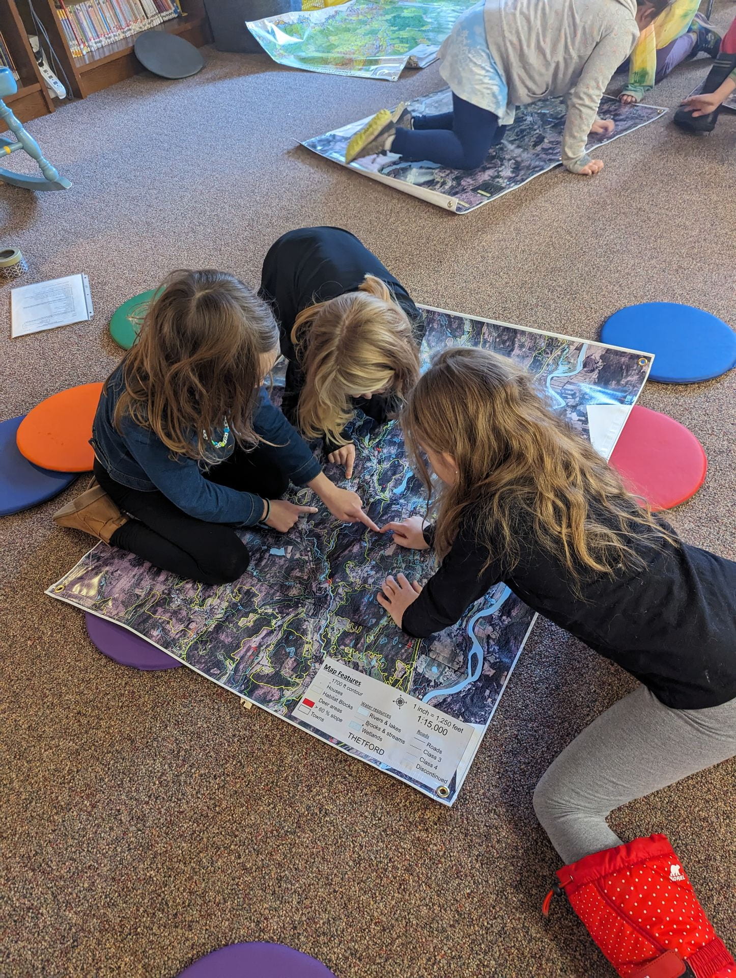
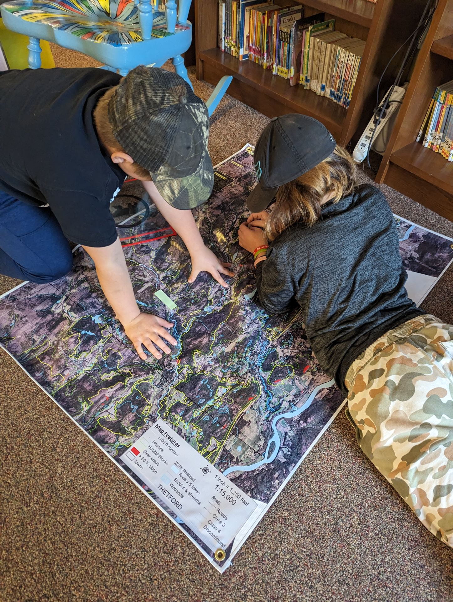
TES received 10 large maps free from Linking Lands Alliance (LLA). Students in grades K-6 have been reading books about maps and creating their own maps.
In 3rd/4th grades we have been partner programming at code.org to create Interactive Maps. Students are using the research from their US National Parks Project to create a state maps with Points of Interests, including information about their individually chosen US National Park.